
PLAT MAPS.
Plat Maps.
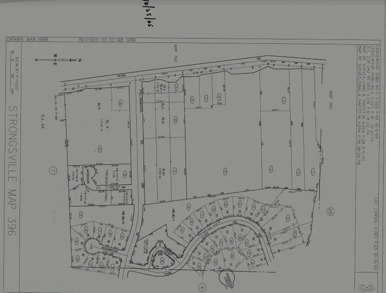
A plat map, also known as a “plat,” shows you how a tract of land is divided into lots. It is drawn to scale and records the land’s size, boundary locations, nearby streets, flood zones, and any easements or rights of way. Plats for each section of Ledgewood are found below. If you have questions or need more information, please contact us at alltrustees@theledgewoodassociation.com.